The north-western fjords of Iceland is very special region of Iceland. It is an "old" region of Iceland compared to the central, northern, southern and south-western districts of Iceland. There are no active volcanoes around but some hot springs are still present. However, in the extreme north-western part even these are missing. A second reason why this region is so special is that after WWII all the local settlements were abandoned (by government order). Although the locals dependent very much on fishing, they also had a sheep grazing culture. After the region was abandoned by the fishing/farmers (the settlers remained ownership of their old homes be it now as summer holiday houses) the region was no more grazed by sheep. This has led to a lush natural (hyper-)boreal vegetation not degraded by human activities like husbandry grazing. Thus it has become a splendid region to hike. And there is one more thing: because farming practises were abandoned so was the hunt on polar foxes (at least by law: poaching has been going on for many years). If you want to see polar foxes on Iceland this is the region: the foxes have learned not to be afraid of humans any more.
The North-West fjord region of Iceland
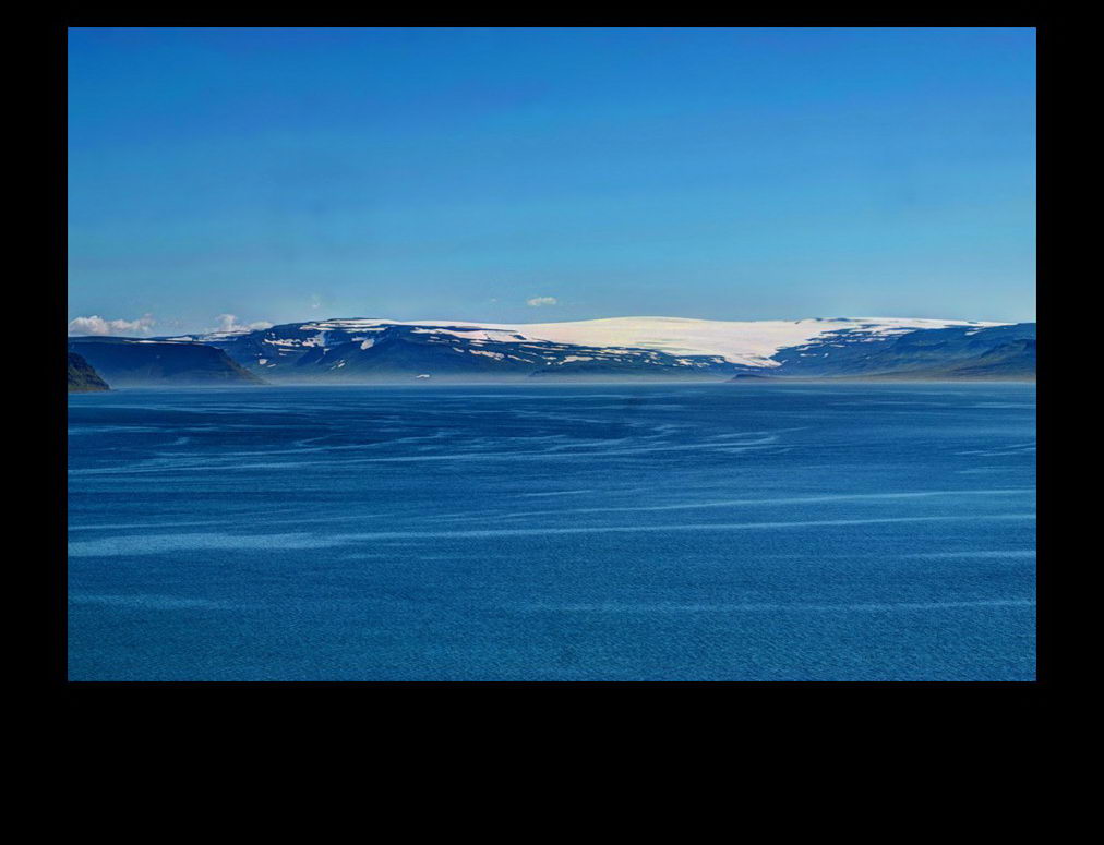 Sailing to Hesteyri in the Jökullfjords one can have a good view on the Drangajökull ice cap and glacier, that is weather permitting..
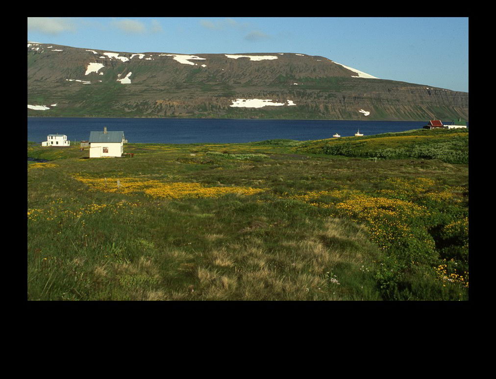 Tranquil Hesteyri is a good place to start hiking in the north-western fjords. One can take a boat from Isafjörður. An easy interesting hike is to the old whaling station near Hesteyri.
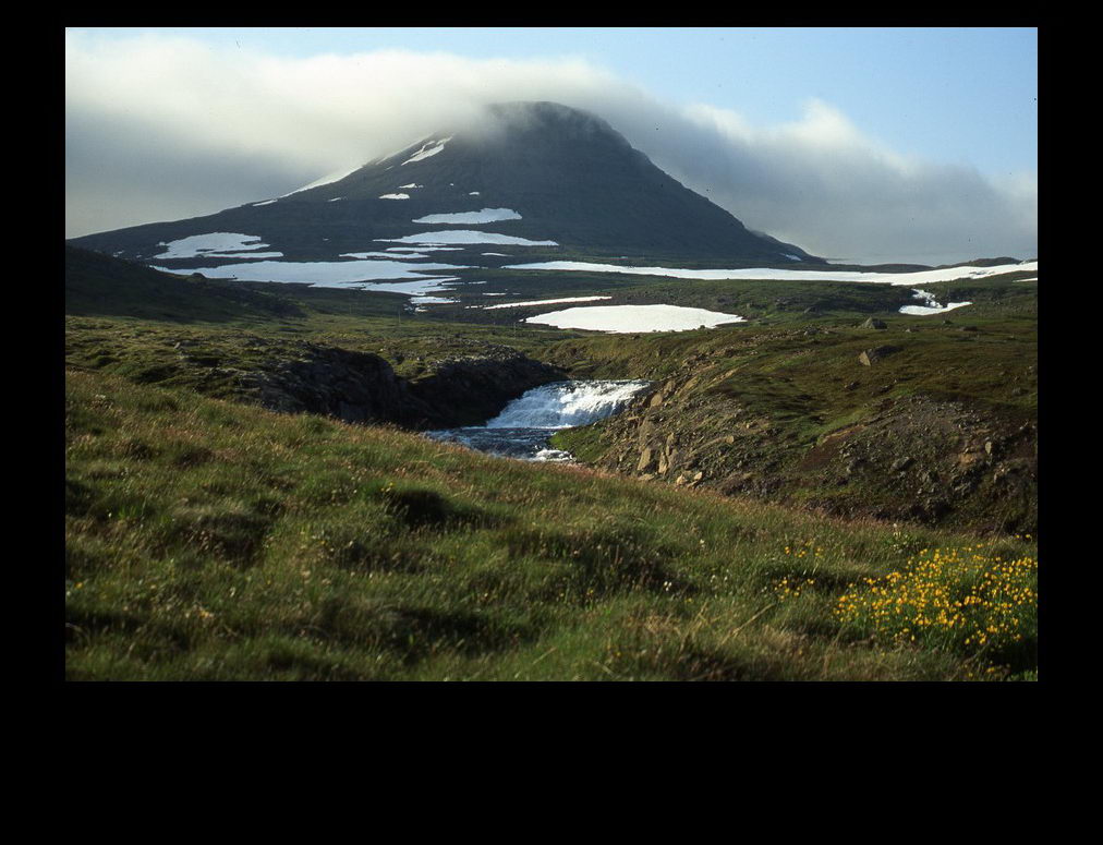 From Hesteyri one can walk the trodden track from Hesteyri to Aðalvík, but one can also hike through Lönguhlíðardalur and then from the high plain (Háaheiði) back down through Reyðardalur to Aðalvík
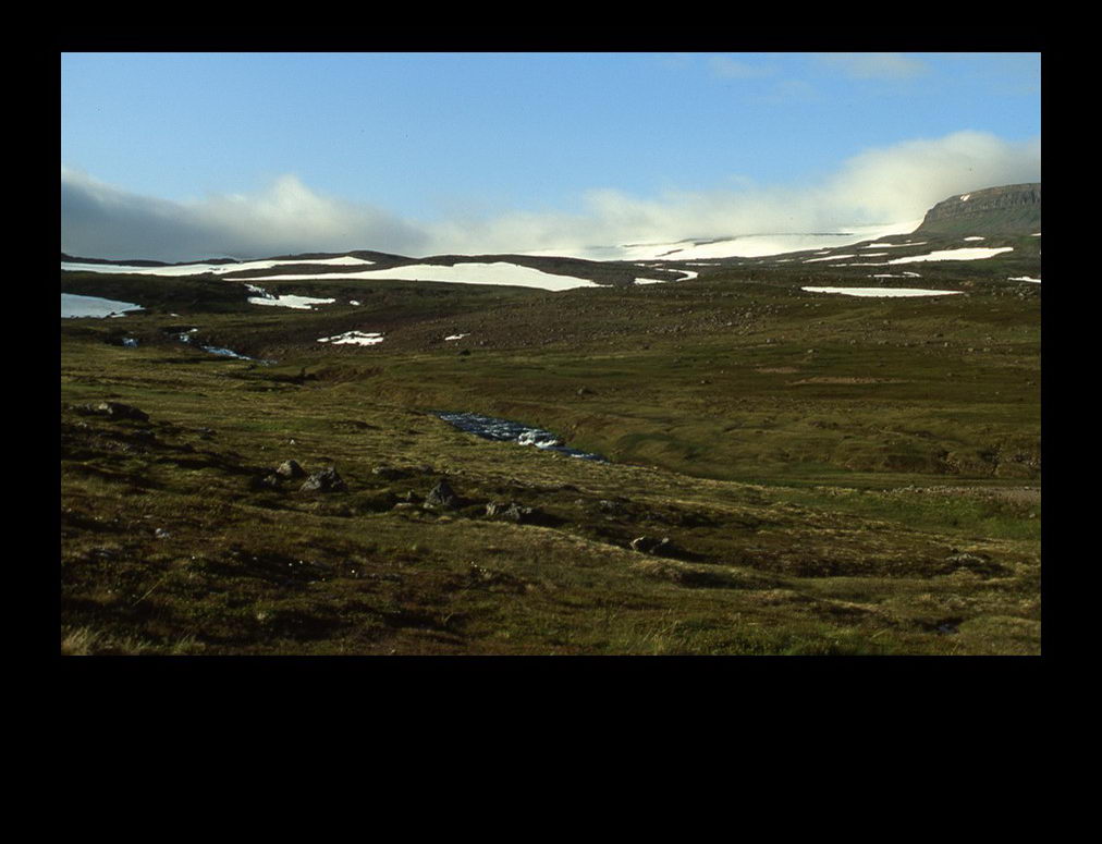 Near the high plain snow beds appear that have to be crossed
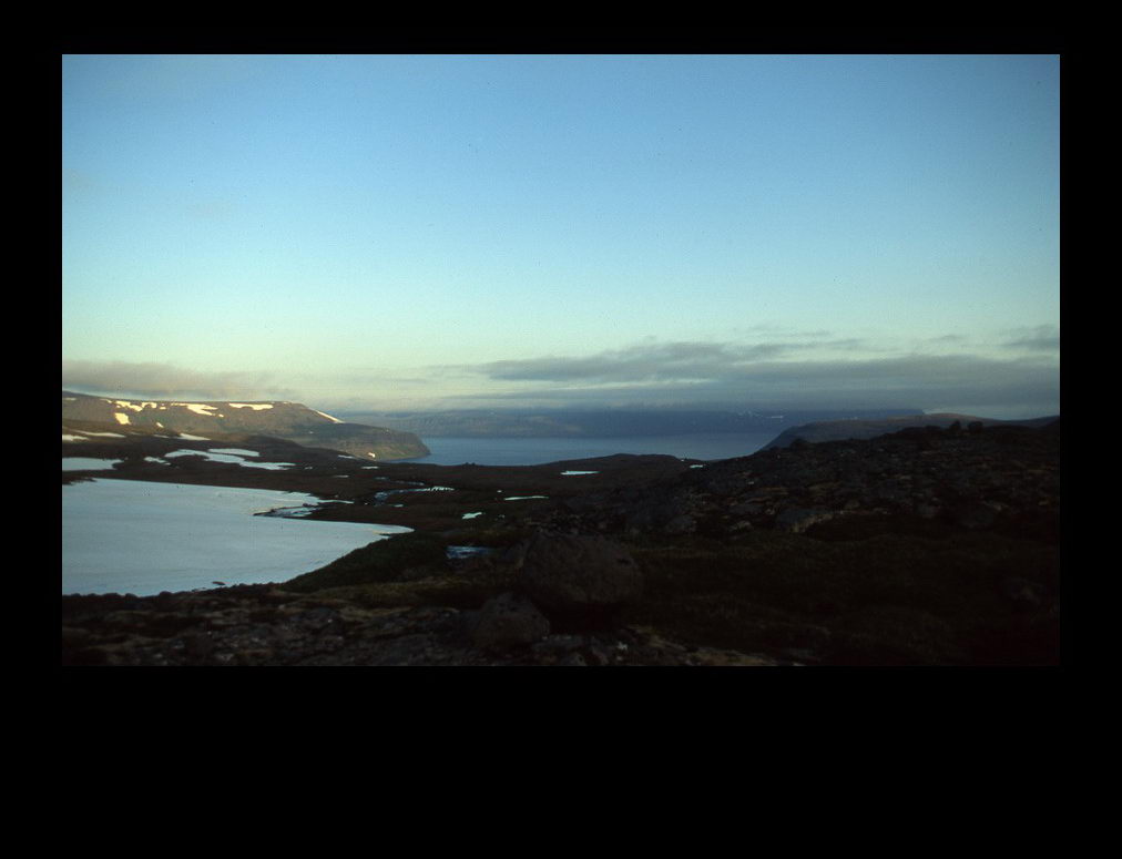 On the high plain looking south one sees the Jökulfirðír
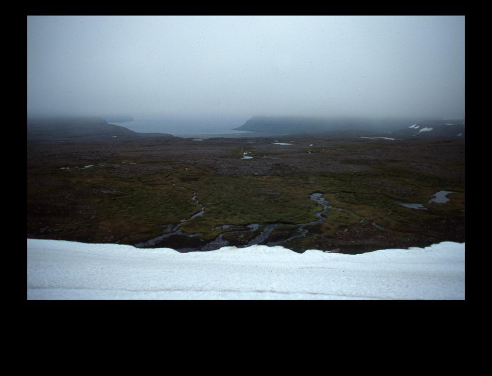 Looking north one sees the Reyðardalur and the Látravík bay (part of the Aðalvík bay).
 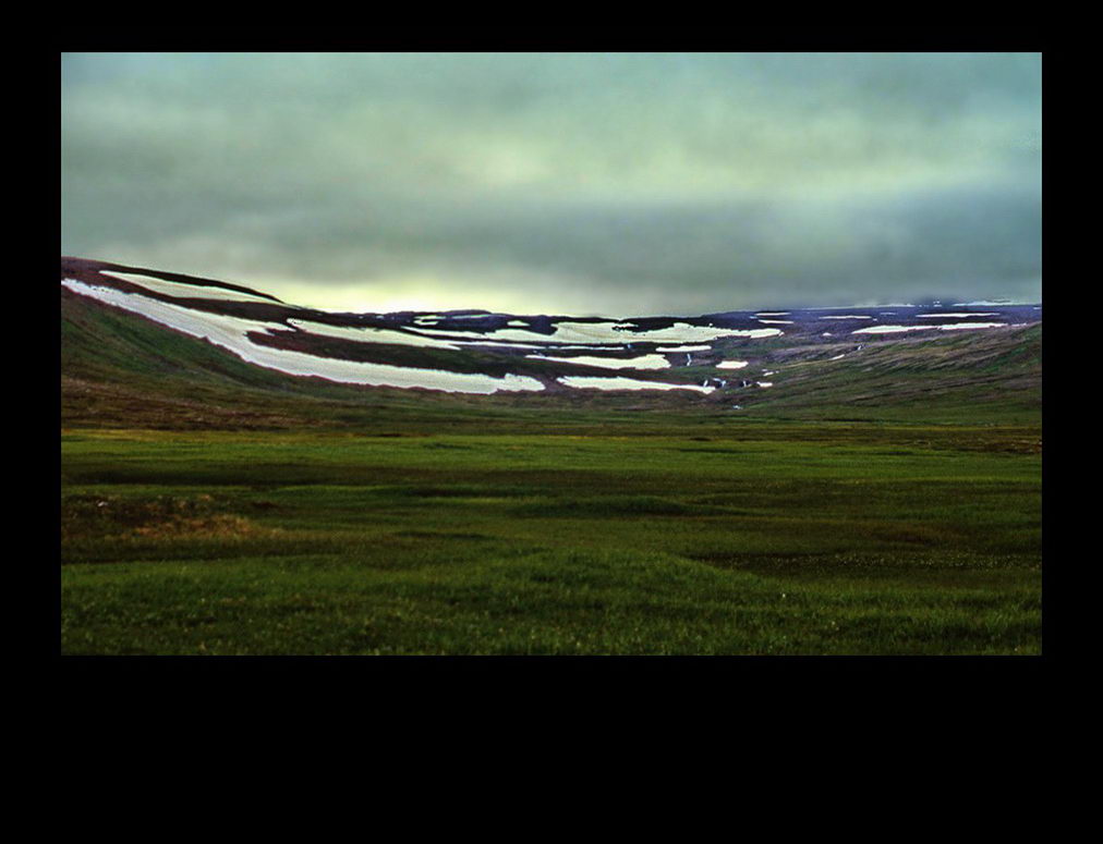 Looking back, while descending into Reyðardalur, towards the Háaheiði
 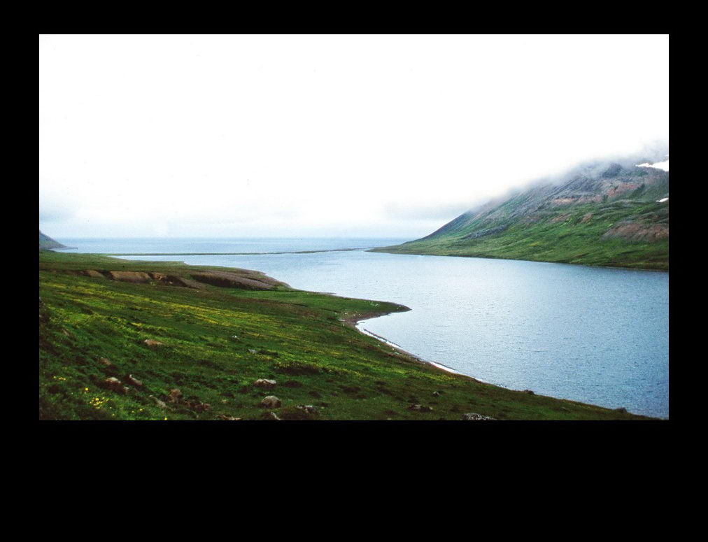 The Rekavík fjord, just west of
 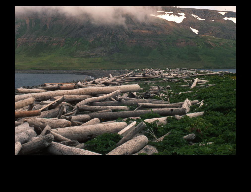 On these natural dams one can often find many tree logs. Most of these trees are from Siberia. For the locals it was a welcome source of wood.
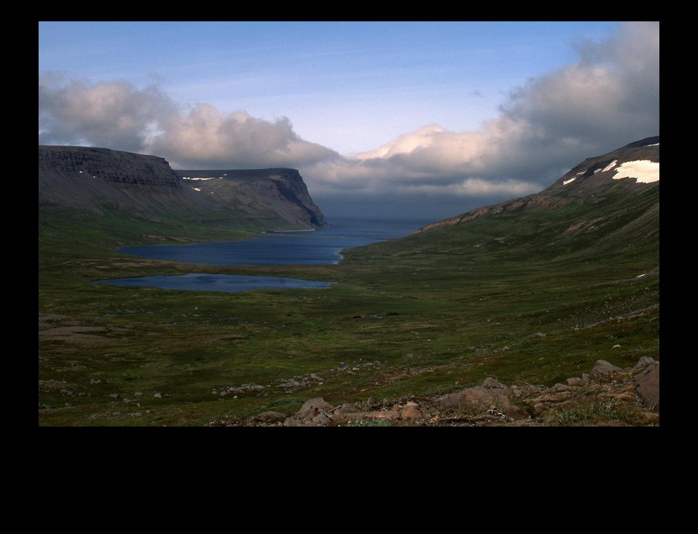 The Relavík fjord seen from a higher point of view
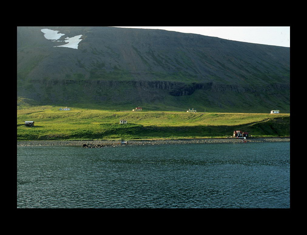 Látravík at Aðalvík. A settlement of a few summer houses
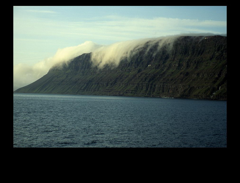 Fog banks rolling down the sea cliffs
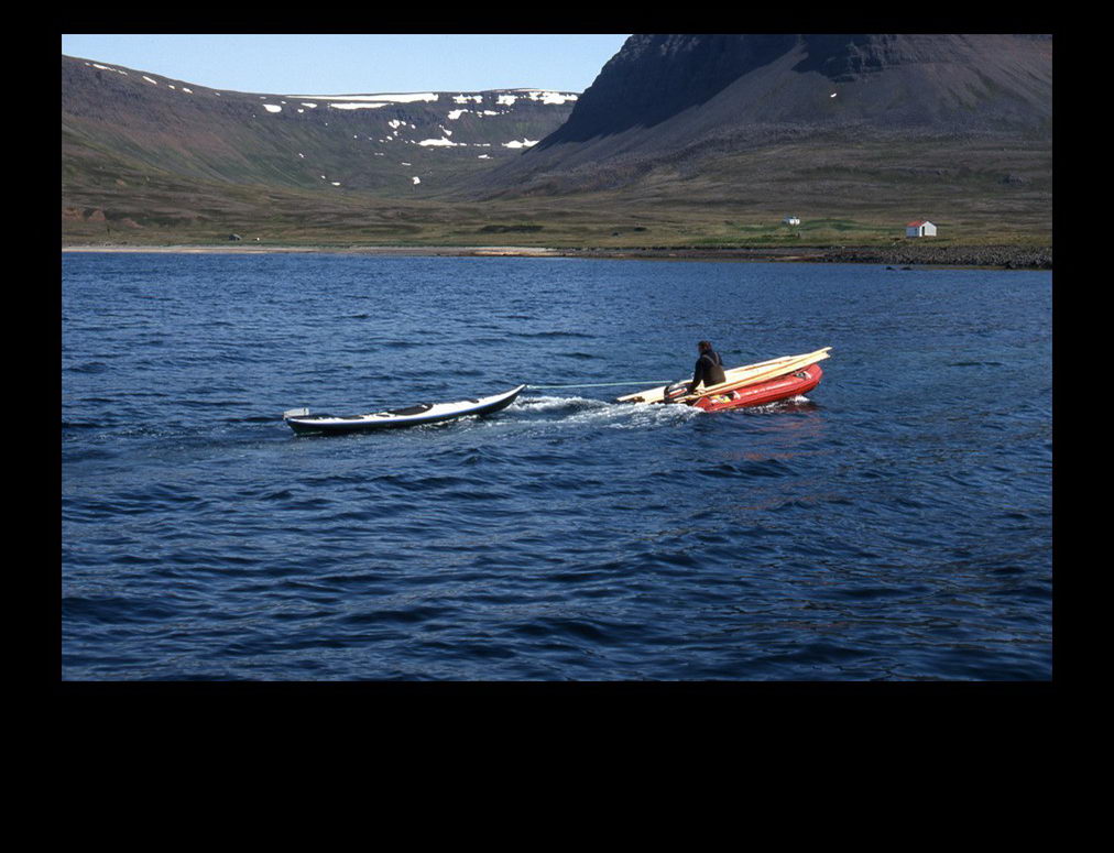 A rubber dingy towing a canoe brings in supplies and tourists from the boat to land
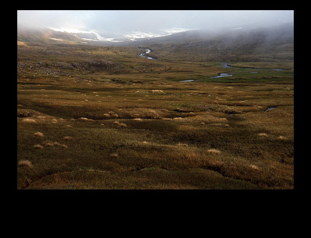 A truly desolate area
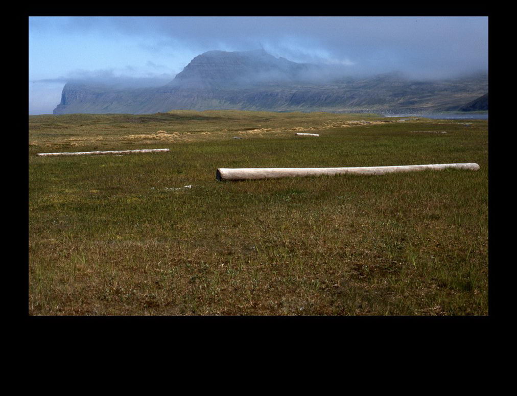 On the coastal plain one can find tree logs from Siberia too
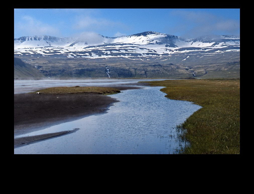 Melt water from the mountains create rivers and inundate low regions of the valley
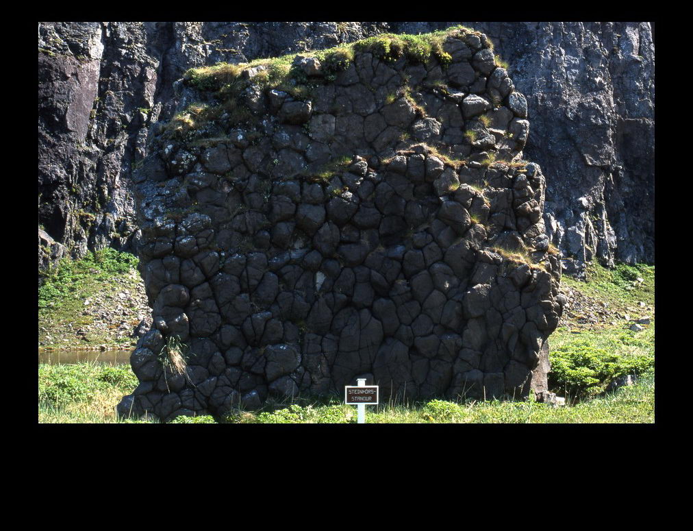 A natural monument of basalt at Hornvík
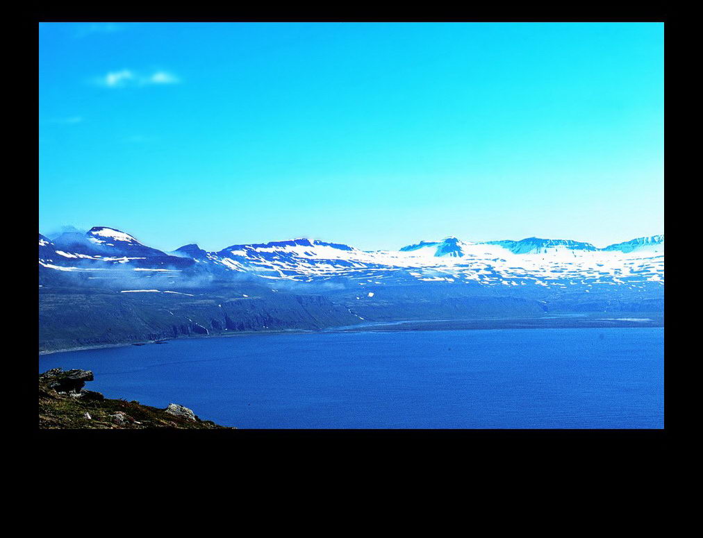 Beautiful mountains align the very north-western coasts of Iceland
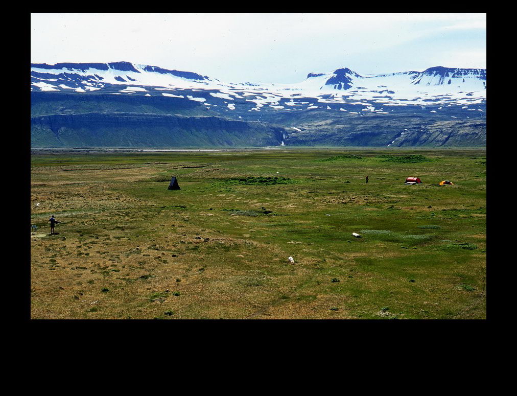 The camping ground at Hornvík. Note the two tents on the right with a humanoid figure, a humanoid on the extreme left as well and the wooden tent-like structure on the left containing the hygiene facilities of the camping ground
 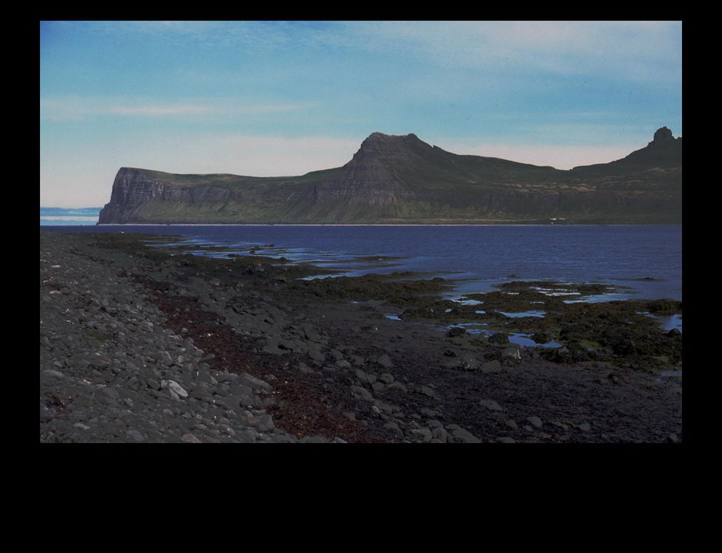 The Hornbjarg on the left. The most northern tip of main-land Iceland. It is a steep cliff plunging into the arctic ocean
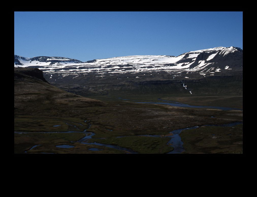 Stunning views while crossing the ridge just south of Hornbjarg from west to east
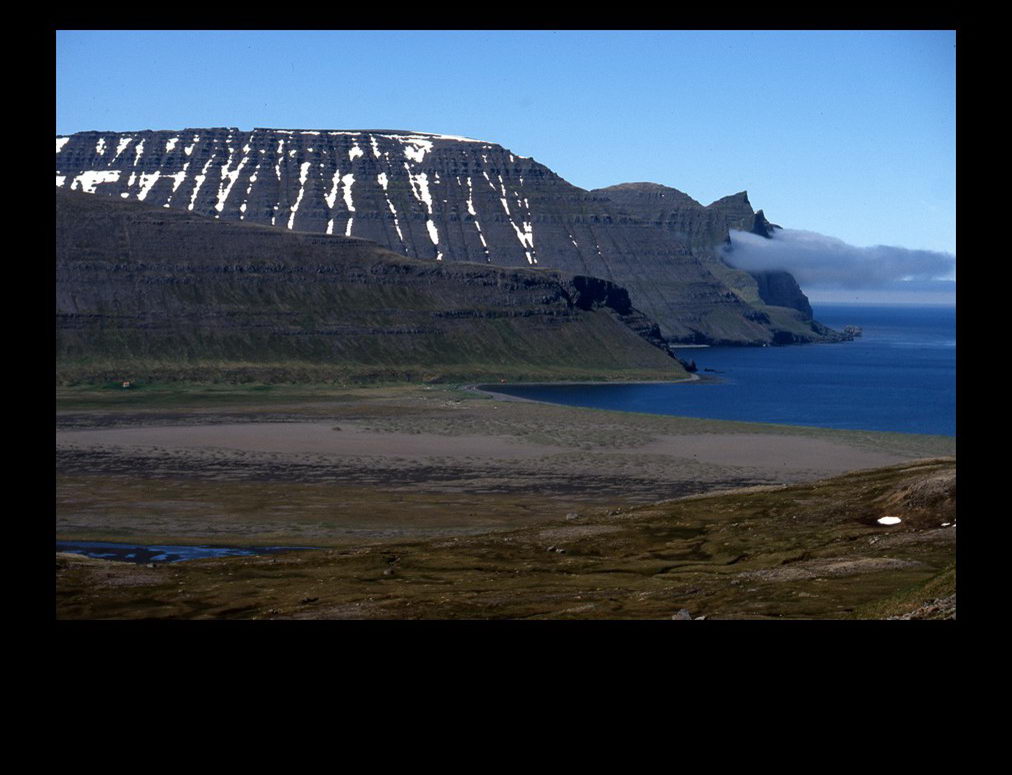 Looking back at the valley of Hornvík
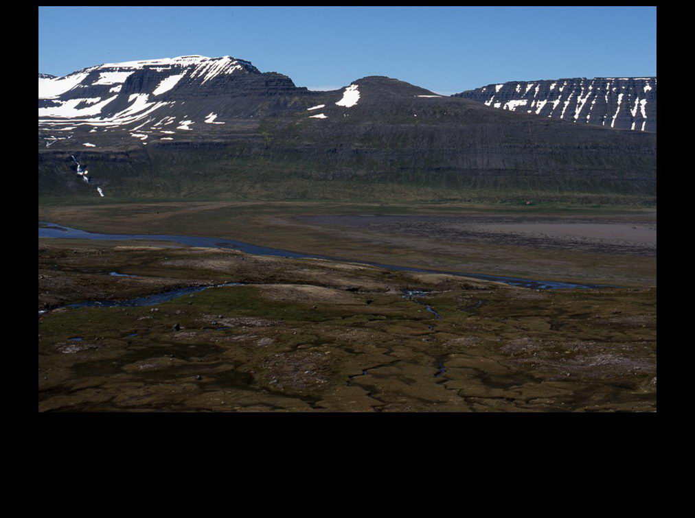 Also the valley of Hornvík
 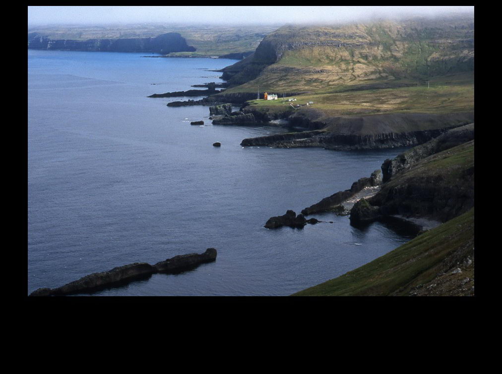 On the other side of the ridge - the east coast - is a lighthouse named Látravík (not to be confused with Látravík in Aðalvík)
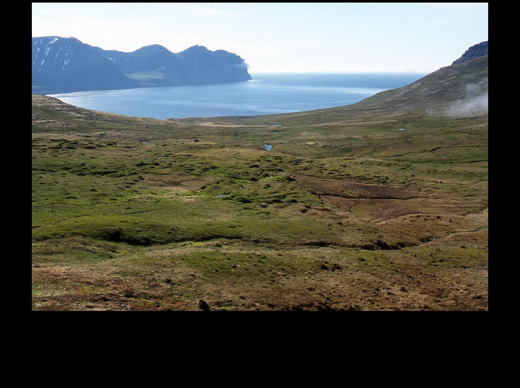 Returning back to Hornvík from the other side of the ridge: it still is a long descent!
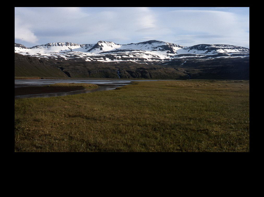 Back in the valley
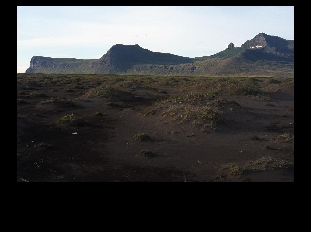 Small dune formations behind the black beech at Hornvík


